


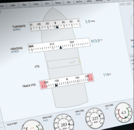
The usage and performance of the chart display is comparable to an electronic chart display and information system and allows, for example, toggling between ship-centered mode including off-center distance, and free movement, and supports multiple chart views (e.g., different scale, chart details, own ship options). The active route is shown with waypoints, labels, path, radius, and cross track distance limits.